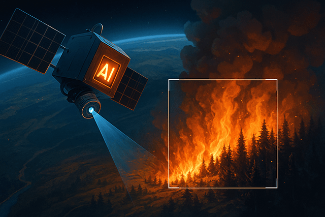
In a significant advancement for wildfire management, Google Research and its partners have unveiled the first images from FireSat, a revolutionary AI-powered satellite system designed specifically for early wildfire detection.
The images, released on July 23, 2025, showcase FireSat's remarkable capabilities, including the detection of a small roadside fire near Medford, Oregon that went completely unnoticed by existing satellite systems. The system also captured multiple active fires near Borroloola in Australia's Northern Territory, two remote Alaskan wildfires (the Moran and Chicken fires), and comprehensive imagery of the Nipigon 6 fire in Ontario, Canada.
"These images represent a turning point in how the world will see and respond to wildfires," said Brian Collins, Executive Director of Earth Fire Alliance, the nonprofit coalition behind the project.
FireSat's advanced capabilities stem from its custom-designed multispectral infrared sensors that can peer through smoke and clouds, providing accurate, near real-time tracking of fast-evolving fires. The system can detect fires as small as 5x5 meters—approximately the size of a classroom—within just 20 minutes, making it orders of magnitude more precise than existing satellite systems that often rely on infrequent, low-resolution imagery.
The FireSat project is a collaboration between Google Research, Muon Space, Earth Fire Alliance, the Gordon and Betty Moore Foundation, and global wildfire authorities. Google.org has provided $13 million in funding through its AI Collaborative: Wildfires initiative.
The first FireSat satellite launched in March 2025 from Vandenberg Space Force Base aboard SpaceX's Transporter-13 mission. Three additional satellites are planned for 2026, with the full constellation of over 50 satellites expected to be operational by 2030, providing global coverage with updates every 20 minutes.
Beyond emergency response, FireSat data will create a global historical record of fire behavior, aiding scientists in predicting and modeling future wildfires. "FireSat is more than just an emergency response tool," said Juliet Rothenberg from Google Research. "It's also an incredible tool for reducing greenhouse gas emissions. It's actually really beautiful that the constellation contributes to reducing climate change—while also responding to it."