


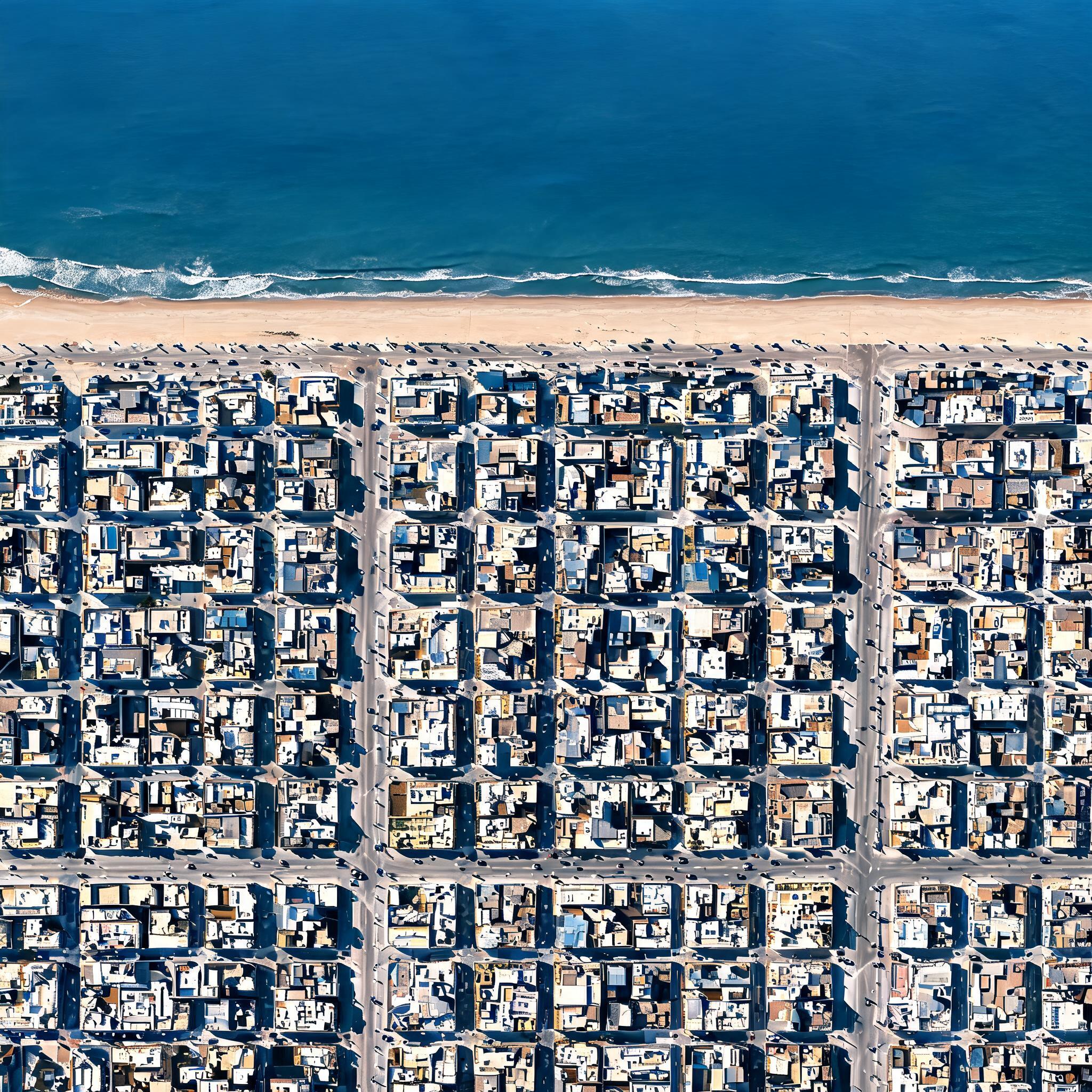
Drone-view satellite photography, orthophoto map, top-down perspective from high altitude. Detailed coastal city terrain with grid street pattern, accurate geographic layout, modern building rooftops, roads with tiny moving cars, sandy beach meeting deep blue ocean with subtle waves. Clear sunny day, crisp morning sunlight, long sharp shadows, ultra-high resolution, 4k texture, real-world satellite imagery style, geographic information system (GIS) data aesthetic.
Free to start · Generate videos and images with AI in seconds