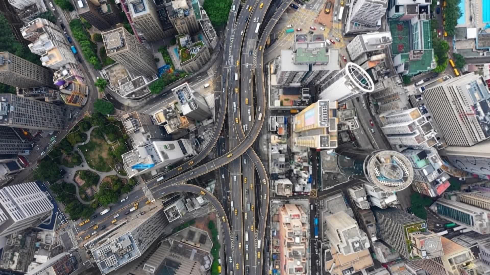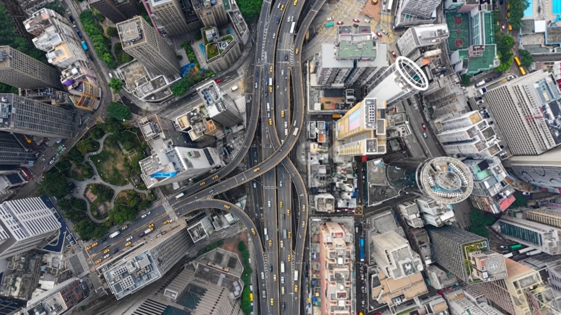
# A vertical satellite-map animation of a city intersection Scene rules: The entire video uses ...
# A vertical satellite-map animation of a city intersection Scene rules: The entire video uses a locked top-down map view. The ground plane stays parallel to the screen. The frame shows rooftops and roads only. The shot stays at neighborhood-block scale. Start: one large intersection fills the center of the frame. End: about 2 or 3 large intersections are visible, plus nearby blocks in forward direction. Extremely accelerated timelapse traffic. Cars are moving very fast throughout the entire video. The camera slowly rises higher above the ground while moving forward. The map scale decreases only slightly, about 40–50%, while the map gently scrolls forward. The forward motion is visible as the starting intersection slowly drifting toward the bottom edge of the frame. New roads and intersections continuously enter from the top edge of the frame. Avoid cinematic drone language. This is not a drone reveal, not an angled aerial shot, not a skyline shot. The video should look like moving s
Free to start · Generate videos and images with AI in seconds
More from this creator