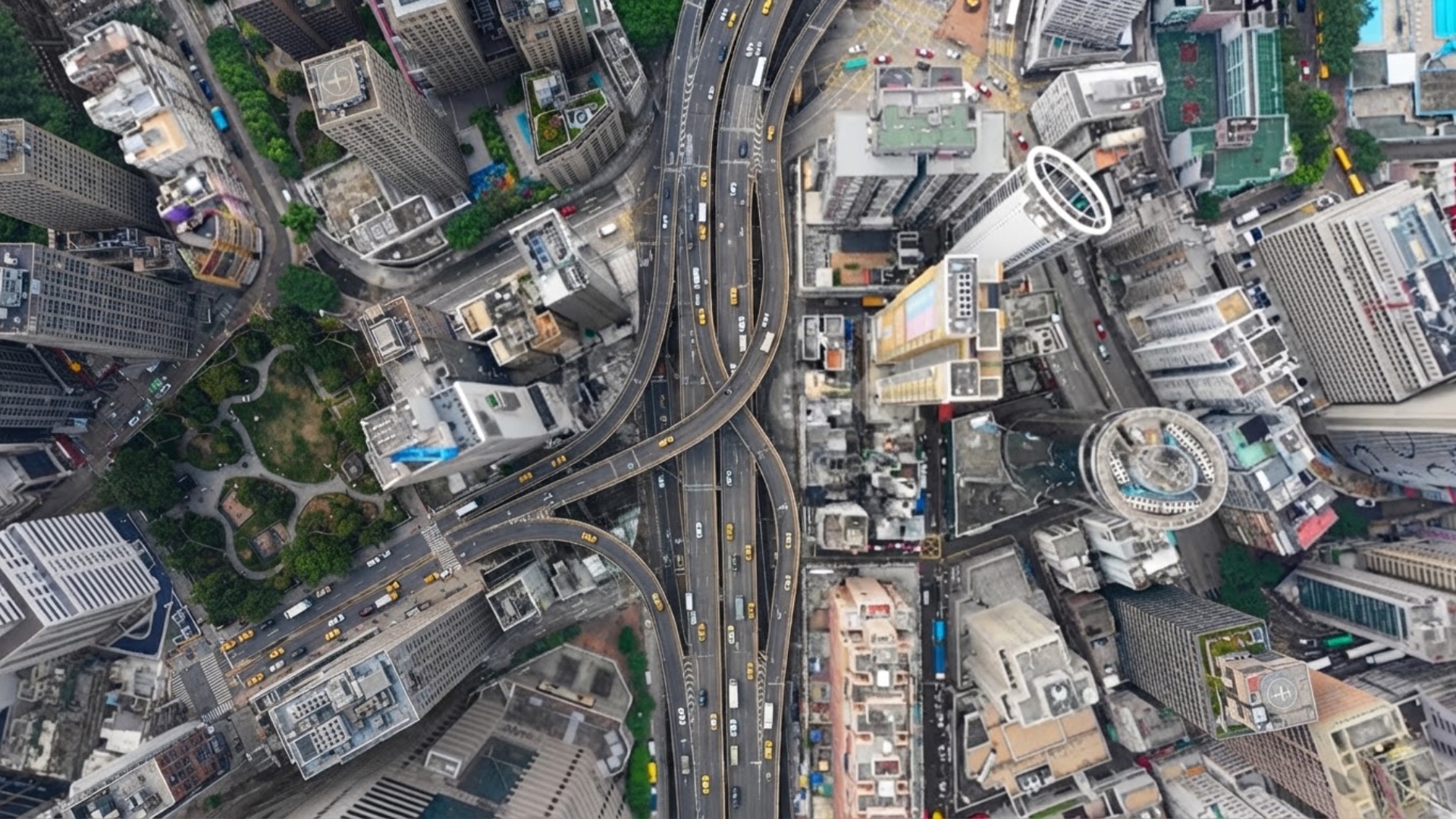
# A vertical satellite-map animation of a city intersection
Scene rules:
The entire video uses a locked top-down map view.
The ground plane stays parallel to the screen.
The frame shows rooftops and roads only.
The shot stays at neighborhood-block scale.
Start: one large intersection fills the center of the frame.
End: about 2 or 3 large intersections are visible, plus nearby blocks in forwar...